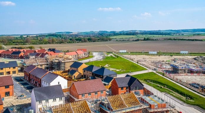
A free online mapping toolkit could be the key to delivering on the Government’s 1.5m homes target, according to professor Richard Kingston of the University of Manchester
The online mapping toolkit, named the Digital Solutions Hub, can give policymakers information and tools needed to decide where, when, and how to build homes based on an evidence-based approach.
The toolkit is due to launch in 2025.
The online mapping toolkit would speed the process
The Digital Solutions Hub is being designed by professor Kingston and his team, which is funded by the National Environment Research Council (NERC).
The online mapping toolkit provides easy-to-access environmental, social, economic, and health data to ensure that policymakers can make decisions with long-term benefits.
In an article published by Policy@Manchester, professor Kingston writes: “Spatial data, environmental monitoring, and Geographic Information Systems (GIS) can offer cutting-edge solutions to these problems, providing policymakers with tools to make evidence-based decisions on where, how, and when to build.”
Other recommendations for policymakers
Alongside the online mapping toolkit, professor Kingston makes recommendations for policymakers in the form of four criteria in order to meet the target of 1.5m homes:
Work closely with local authorities, developers and researchers to utilise GIS tools – such as the DSH – in selecting sites that balance housing needs with environmental protection: “Areas with low biodiversity impact, minimal flood risk, and existing infrastructure connectivity should be prioritised, while ecologically sensitive regions should be avoided.”
New developments should be integrated with existing or planned transport networks, utilities and public services: “Using the data from the DSH, planners can better anticipate where infrastructure upgrades are needed and coordinate housing projects accordingly.”
Policymakers should develop guidelines: “that require housing developers to assess and integrate climate resilience measures into their planning… …ensuring homes are built to withstand future climate risks while contributing to carbon reduction targets.”
Effective coordination between government bodies, environmental groups, local communities and the private sector is key: “The DSH is a critical platform for facilitating collaboration between these stakeholders, allowing them to share data, insights and best practice.”
Read professor Kingston’s full article here.
The post Online mapping toolkit developed for 1.5m home target appeared first on Planning, Building & Construction Today.


